

Angel Falls |
|

|  Ah, the hiking book said you could "rock hop" the streams. Not after a rainy fall, you can't. And this was the easy one. Water's cold. You have to cross this stream once and Mountain Stream three times. Ah, the hiking book said you could "rock hop" the streams. Not after a rainy fall, you can't. And this was the easy one. Water's cold. You have to cross this stream once and Mountain Stream three times. | |||||||||||||||||||||||
| Crossing number two. This crossing was even tougher. But we made it. 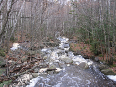 |
 To much water coming down over the mountain. We didn't make the third crossing. We decided to take an alternative route instead which meant up the side of a mountain. You can see the stream below, we got up pretty high and ended up near the top of the falls. To much water coming down over the mountain. We didn't make the third crossing. We decided to take an alternative route instead which meant up the side of a mountain. You can see the stream below, we got up pretty high and ended up near the top of the falls. |
||||||||||||||||||||||||
| Finally the reward. We made it to the top of the falls and have the table cloth all spread out for our picnic. What a beautiful spot. 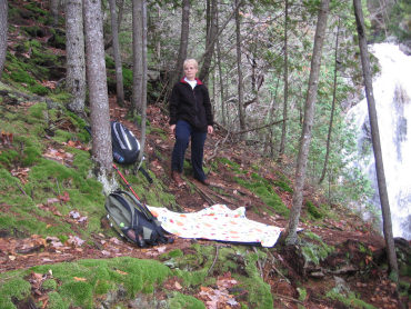 |
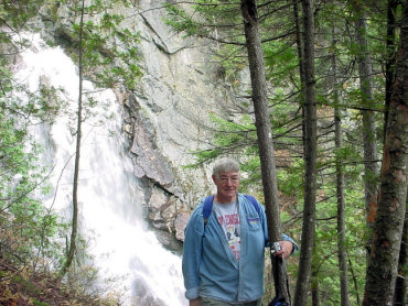
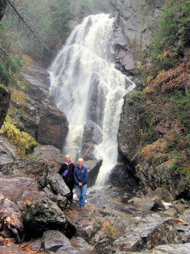 We hiked down to the bottom of the falls. Great picture taking oppurtunity. Wet, noisey, and beautiful. Well worth the trip. | ||||||||||||||||||||||||
 |
|||||||||||||||||||||||||
 |
|||||||||||||||||||||||||


